Vision
Become a Latin American reference center for GeoAI, spatial analysis, data science and sustainable innovation.
International Laboratory for GeoAI, Data Science and Sustainable Innovation
Advancing research, education and real-world innovation through geospatial intelligence, artificial intelligence, environmental sensing, green data and global collaboration.
GeoDataX was created as a space for innovation and training where geographic data converges with the many disciplines that collaborate in analysis, visualization and evidence-based decision making.
The laboratory supports students, researchers and collaborators through interdisciplinary projects, emerging geotechnologies, applied artificial intelligence, environmental sensing and international collaboration networks.
Become a Latin American reference center for GeoAI, spatial analysis, data science and sustainable innovation.
Build technical and scientific capacities through training, interdisciplinary research and collaboration networks.
Design and implement knowledge-transfer strategies for geospatial technologies applied to sustainability, resilience and AI-driven decision making.
The site moves from isolated projects to a coherent international research portfolio.
Maps, spatial data science, machine learning, digital twins and intelligent territorial analysis.
Air, water, climate and urban environmental monitoring through IoT and open data.
Sustainable data infrastructures, energy-aware computing and low-impact digital ecosystems.
Urban resilience, mobility, public space, accessibility and evidence-based planning.
Community-driven sensing, participatory data practices and public-facing knowledge transfer.
Health, infrastructure, public policy and social impact through responsible data methods.
GeoDataX is presented as a living lab ecosystem that links university research, city needs and industry collaboration.
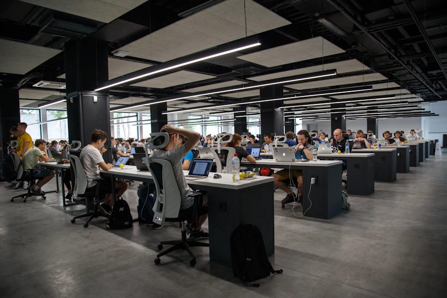
Replace these generic images with real photos of the GeoDataX research space, dashboards, field sensors and collaborative work sessions.
GeoDataX promotes joint projects, visiting scholars, student mobility and international research initiatives with collaborators in Latin America, Europe, North America and Asia.
Instead of presenting isolated academic activities, the new site frames talent development as an international pathway.
Early-stage research, terminal projects and applied prototypes.
AI, data science, geospatial analytics and urban/environmental applications.
Research stays, summer programs and visiting collaboration opportunities.
Student community for learning, mentoring, workshops and public engagement.
Student innovation community for geospatial data science, mentoring and public engagement.
Latin American conference ecosystem for geospatial research, education and innovation.
International conference connection around web, wireless and geospatial information systems.
Use this area for Springer, Scopus, conference proceedings, technical reports, datasets and dashboards.


For partnerships, student projects, research visits, workshops or collaborative initiatives, contact the GeoDataX team.
GeoDataX · UPIITA-IPN
Av. Instituto Politécnico Nacional 2580, La Laguna Ticomán, Gustavo A. Madero, 07340, Ciudad de México, CDMX
+52 (55) 5729 6000 ext. 56960
info@geodatax.org · acmchapter@geodatax.org